The limestone rock that forms the geology of Dovedale is the fossilised remains of sea creatures that lived in a shallow sea over the area during the Carboniferous period, about 350 million years ago. During the two ice ages, the limestone rock (known as reef limestone) was cut into craggy shapes by glacial meltwater, and dry caves such as Dove Holes and Reynard’s Kitchen Cave were eventually formed.[7]
The caves were used as shelters by hunters around 13,000 BCE, and Dovedale has seen continuous human activity since. Around 4,500 years ago Neolithic farmers used the caves as tombs. There is evidence from Reynard’s Cave of Bronze Age activity, and artifacts found there are displayed at Buxton Museum and Art Gallery
| Geography | |
|---|---|
| Location | England, Staffordshire, Derbyshire |
| Coordinates | 53.0597°N 1.7767°WCoordinates: 53.0597°N 1.7767°W |
| Rivers | River Dove |

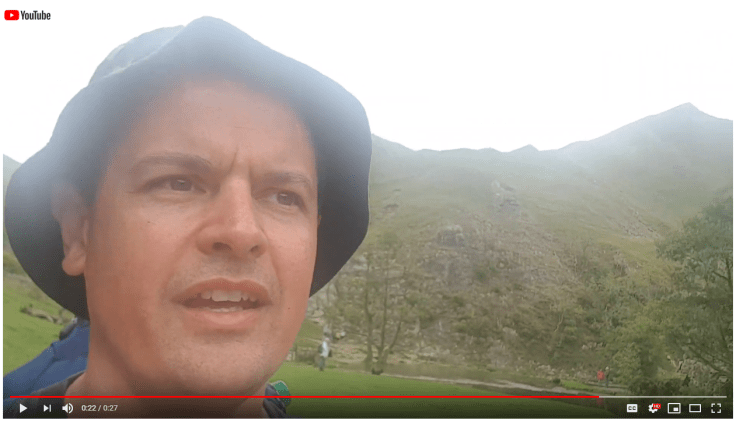
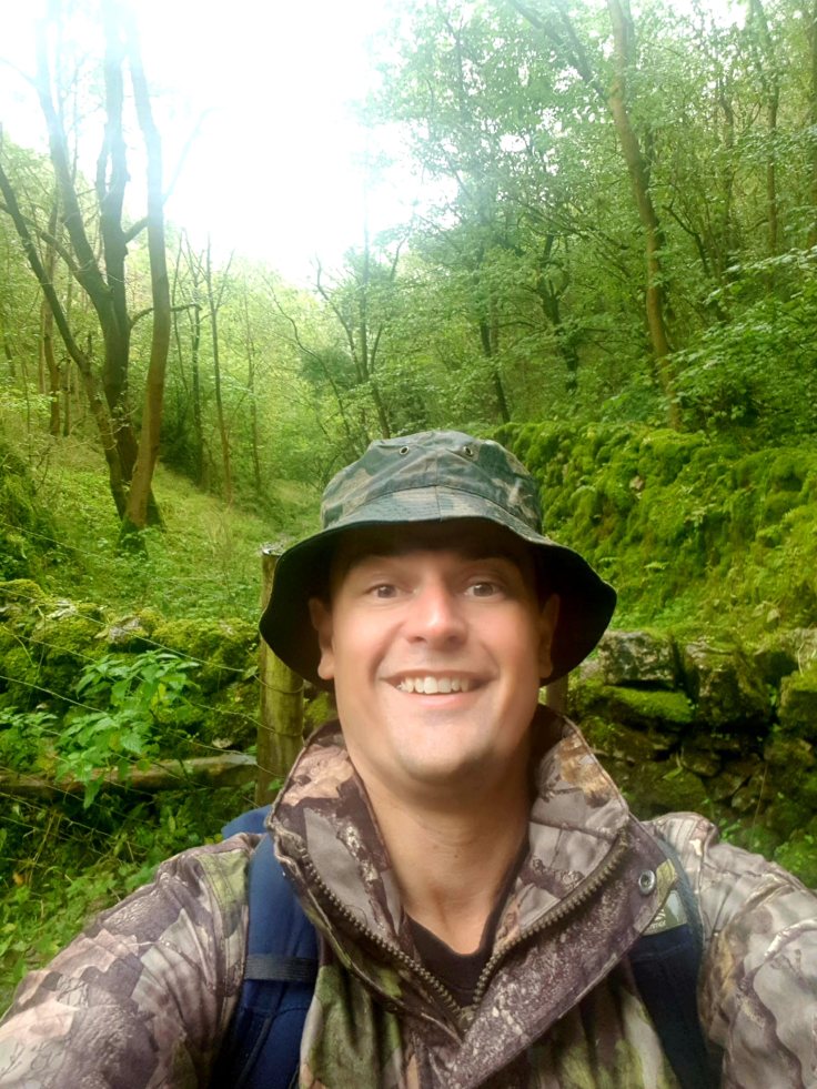
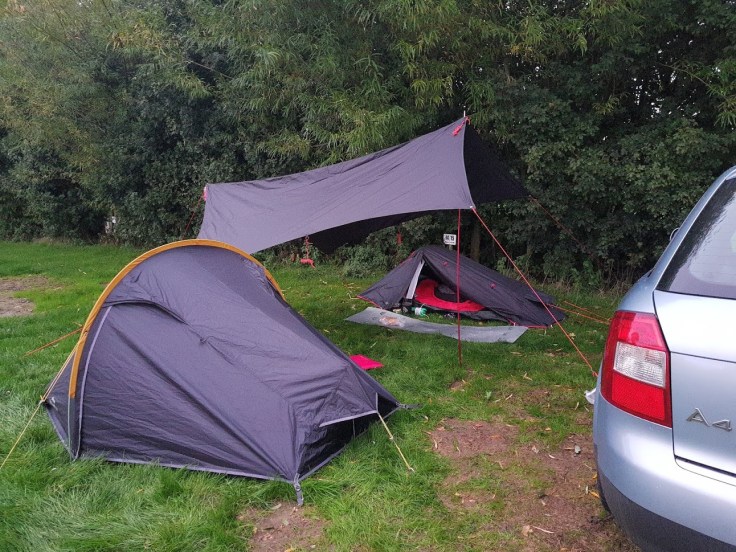
Short notice this one, we literally packed the car and headed north, ended up in Dovedale in the Peak District.
Escaped the rain, but the hilly route didn’t suit me at the time!
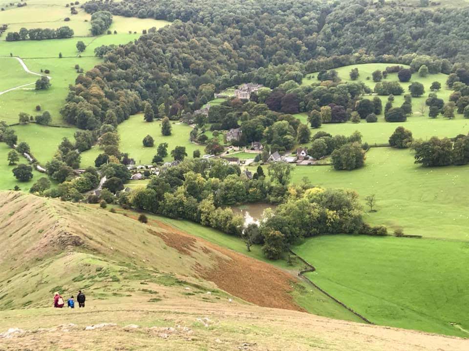
Cracking views.
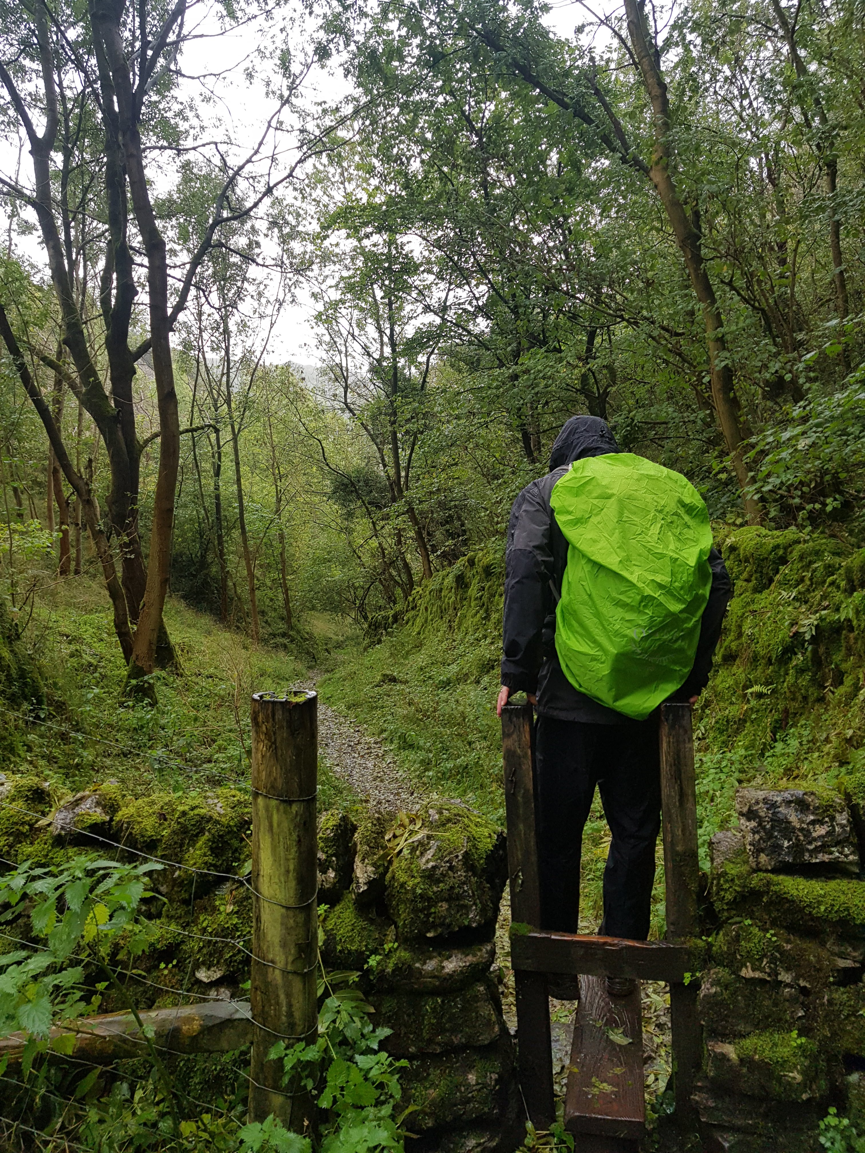
Woodlands were very humid, especially with the large packs.
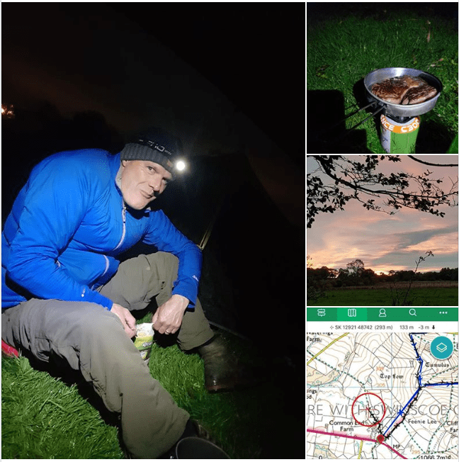
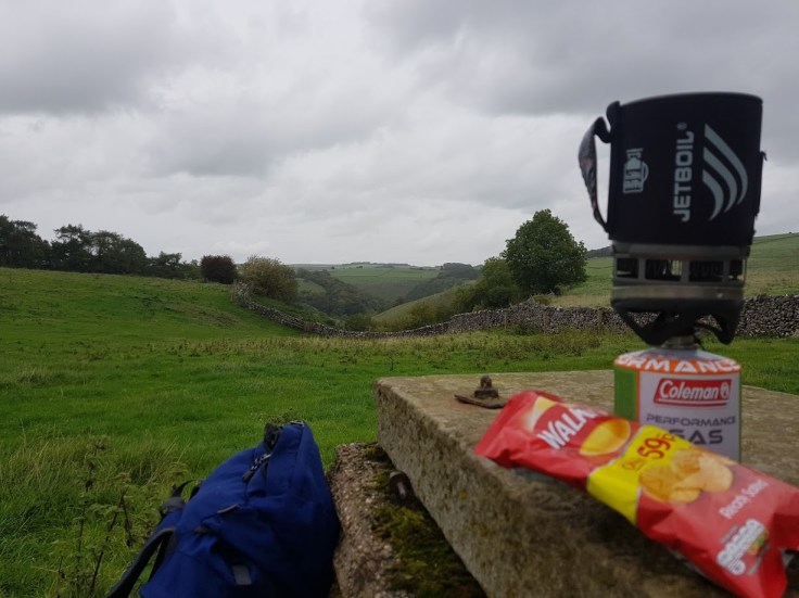
As is the tradition, steak and Uncle Bens rice!


Dovedale is known for the River Dove and it’s impressive limestone ravines, but the most iconic part of a trip to Dovedale has to be the picturesque stepping stones, although we didn’t stop or even slow down for them to be honest.
There is a nearby car park, where you can get some snacks before your walk, but it’s pretty kid friendly so well worth a stop even if you only have 3 hours.
From the carpark it’s just a short walk up and across a wooden bridge to get to the River Dove, where you can look up onto Thorpe Cloud.
Thorpe Cloud is an isolated limestone hill, also known as a reef knoll, which sits between the villages of Ilam and Thorpe and lies right on the border between Derbyshire and Staffordshire. It’s highest point has an elevation of 287 metres, which is quite a quick and steep ascent, but one with lots of hike-worthy views across the Staffordshire and Derbyshire countryside once you’re at the top.
If you are planning on walking to the top of Thorpe Cloud do remember to bring a good pair of walking boots with you, as the way down the hill can sometimes be a tad tricky, especially in the summer where you’ll be passing pretty big groups on narrows paths.
Following the River Dove up towards the stepping stones you can cross and climb to the top of Thorpe Cloud, giving fantastic panoramic views of the Peak District.
For a more family friendly walk, you can continue up passed Thorpe Cloud and carry on up along the river. There’s lots of great wildlife and woodland to explore along this riverside stroll, and the path is very clear and flat which is a plus point for families with small children.
If you’d rather take more of a walk to enjoy the Peak District countryside and arrive in Dovedale along the way, there are a few good locations to start. For example, the River Dove flows through Milldale, which is a great starting point for the walk down through Dovedale to the stepping stones, as well as Wolfscote Dale and Beresford Dale. Here there are also a network of footpaths and walks either along the river or over the surrounding countryside – for more info check out www.visitpeakdistrict.com

Leave a comment